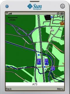
j2me PhotoGeoTag - ŪúīŽĆÄ ž†ĄŪôĒŽ°ú žā¨žßĄžĚĄ žįćÍ≥† žßÄŽ¶¨ž†Ā žúĄžĻ?žĚ? ŽćįžĚīŪĄįŽ•ľ ŪÜĶŪē©Ūē?žč≠žčúž?§. žĚī žĚĎžö© ŪĒĄŽ°úÍ∑łŽě®žĚĄ žā¨žö©Ūē?Ž©ī ÍįĄŽč®Ūēú Ž©ĒŽ™®žôÄ Ūē®ÍĽ? žā¨žßĄžóź GPS žą?žč†ÍłįžĚ? ŽćįžĚīŪĄįŽ•ľ ŪŹ¨Ūē®žčúŪā¨ žą? žěąžäĶŽčąŽč§. žĘĆŪĎúŽ•ľ žēĆÍ≥† GPS žą?žč†ÍłįÍįÄžóÜŽäĒ Í≤Ĺžöį žßÄŽ¶¨ ŽćįžĚīŪĄįŽ•ľ žßĀž†Ď žďł žą?ŽŹĄ žěąžäĶŽčąŽč§. Ž?źŪēú žúĄžĻ? ž†ēŽ≥ī ŪÉúÍ∑łÍįÄ žßÄž†ēŽźú žā¨žßĄžĚĄ ŪäĻžą? žĄúŽ≤Ą (ž?ą : Flicker.com)Ž°ú Ž≥īŽāľ žą? žěąžäĶŽčąŽč§. žā¨žĚīŪ䳎äĒ žěźŽŹôžúľŽ°ú žßÄž?§ ŪÉúÍĻÖ Žźú žā¨žßĄžĚĄ žĚłžčĚŪē?žó¨žßÄŽŹĄžóź ŪĎúžčúŽźú žě•žÜĆžóź žßĀž†Ď ŽįįžĻ?Ūē©ŽčąŽč§.
j2me PhotoGeoTag
비슷한 애플 리케이션
FON Access Points for France
14 Sep 11

GpsMid Leipzig
30 Mar 12
GpsMid Trinidad and Tobago
19 Dec 12

FON Access Points for Singapore
17 Aug 11
개발자의 다른 응용 프로그램 Andrea Pace
J2ME PersonalTrainer
17 May 11
J2ME phoneAlcolTest
12 Dec 10
j2me FindMyCar
5 Dec 10
j2me Phonetic Alphabet
7 Dec 10
코멘트 j2me PhotoGeoTag
장치 검색

LG GM200
인기 애플 리케이션
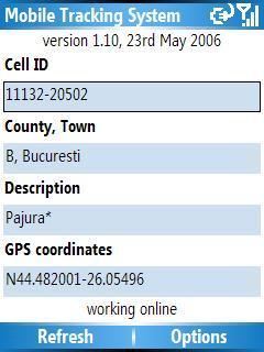
Mobile Tracking System 1 Apr 11
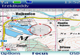
TrekBuddy 23 Sep 14
NavFunPro 21 Apr 12
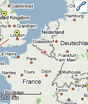
Mobile GMaps 3 Dec 10
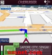
City Cruiser Navigator 3D 5 Mar 13
댓글을 찾을 수 없습니다